Applications
EOS SAR vision is to provide a widely accessible and affordable SAR and optical imagery of Earth surface enabled by appropriate analytic tools like LandViewer
This will grant individuals, businesses, and government agencies a detailed understanding of world-wide processes like crop ripening, logistics, transport, ice and snow dynamics, soil moisture changes, natural disasters (floods, earthquakes, volcanos), etc.
The existing EOS DA analytics experience combined with in-house SAR imagery will strengthen the competitive advantage and provide a powerful tool for addressing real-world business, government, and personal needs.
The primary application areas of EOS SAR products include but are not limited to:
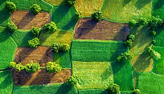
Agriculture
Crop conditions monitoring, crop classification and growth comparison, estimation of soil moisture
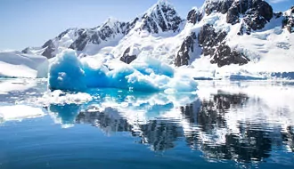
Ice Monitoring
Detection of ice and snow cover, glaciers, iceberg tracking, navigation of ships in icy routes
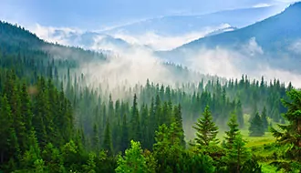
Forestry
Estimation of deforestation and forest fire damage, forest management and classification.
Geohazards
Change detection after earthquakes, floods, hurricanes, tornados, tsunamis, volcanic eruptions, and other unwanted occurrences.
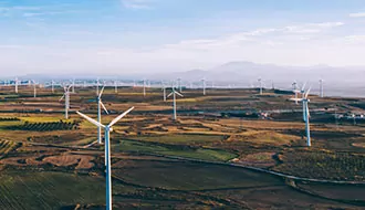
Infrastructure
Measuring of ground subsidence of land, bridges and other objects. Observation of the development of various rural/urban areas.

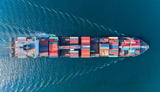
Maritime Surveillance
Ship tracking and dark vessel detection. Finding oil spills coming from moving ships and also environmental hazard areas.
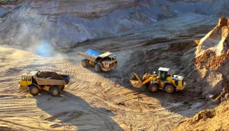
Mining
Elevation profiles for mines, calculation of land subsidence in quarries, other technological advancements allowing you to successfully manage your business.
Your application
Will be definitely considered, please contact us.